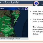
The National Weather Service in Wakefield, Va., has issued a briefing highlighting the potential impacts of an early spring storm system tomorrow. Key highlights include:
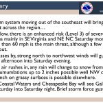
- A strong storm system moving out of the southeast will bring a multifaceted weather event across the region on Saturday…
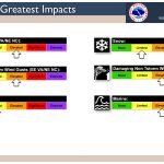
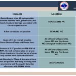
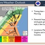
- Ahead of the low, there is an enhanced risk (Level 3) of severe thunderstorms mainly in southeast Virginia and northeast North Carolina Saturday morning. The main threat is wind gusts greater than 60 mph, although a few tornadoes could not be ruled out.
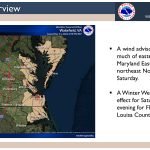
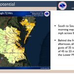
- As the low passes by, strong north to northwest winds will gusts to 35 to 50 mph Saturday afternoon into Saturday evening. A wind advisory is in effect for eastern Virginia, lower Maryland Eastern Shore, and northeast North Carolina.
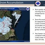
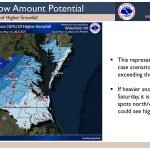
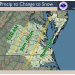
- As the colder air rushes in, any rain will change to snow from west to east on Saturday. Accumulations of around 2 inches are possible well northwest of Richmond. Less than an inch is possible on grassy surfaces elsewhere. A Winter Weather Advisory is in effect in western Louisa and Fluvanna counties.
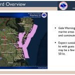
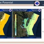
- The Atlantic coastal waters and the Chesapeake Bay will see gale force conditions Saturday into Saturday night. Brief storm-force gusts are possible.

