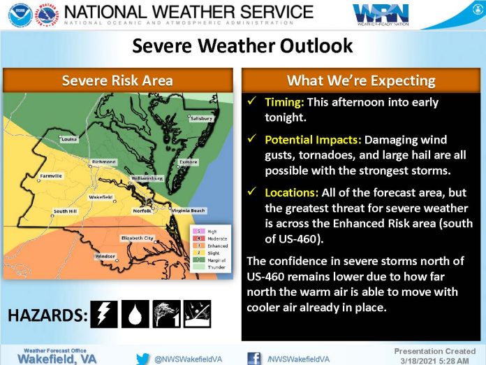
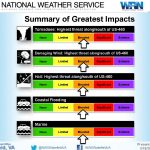
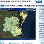
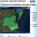
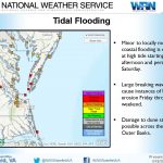
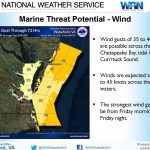
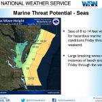
The following is the second briefing from National Weather Service Wakefield, Va., as of 5 a.m., March 18, regarding the potential for severe weather today and gusty winds, coastal flooding, and hazardous marine conditions Friday into the weekend.
Overview and Impacts:
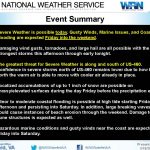
– Severe Weather is possible today. Gusty winds, marine issues, and coastal flooding are possible Friday into the weekend.
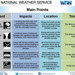
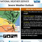
– Damaging wind gusts, tornadoes, and large hail are all possible with the strongest storms this afternoon through early tonight.
– Localized accumulations of up to 1 inch of snow are possible on grassy/elevated surfaces during the day Friday before the precipitation ends.
– The greatest threat for severe weather is along and south of US-460. Confidence in severe storms north of US-460 remains lower due to how far north the warm air is able to move with colder air already in place.
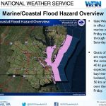
– Minor to moderate coastal flooding is possible at high tide starting Friday afternoon and persisting into Saturday. In addition, large breaking waves could cause instances of beach erosion through the weekend.
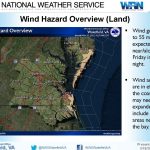
– Hazardous marine conditions and gusty winds near the coast are expected Friday into Saturday.
Sign in
Welcome! Log into your account
Forgot your password? Get help
Password recovery
Recover your password
A password will be e-mailed to you.

